2017-2019
Atlases

In contemporary society, the atlas is no longer just a container of maps, views, and static illustrations. Its definition has expanded with the evolution of information design and now encompasses diverse methods of distributing and visualizing analytical information.
As information rapidly evolves, static publications often risk becoming outdated soon after release. This challenges us to carefully contextualize and curate content. Designing maps and atlases in the twenty-first century demands a complete rethinking of the process, incorporating adaptability and innovative approaches to representation. The evolution of digital tools and satellite technologies has shifted the focus away from printed maps as purely functional objects, emphasizing instead their potential for aesthetic and interpretive value.


In this context, designers play a crucial role in shaping the future of atlases by offering multiple perspectives and innovative ways of engaging with information. Designers must also expand their technical skill sets, such as learning to code, in order to optimize research and design processes. These interdisciplinary skills are essential for creating atlases that address contemporary challenges, unlocking new possibilities for the exploration and communication of complex data.
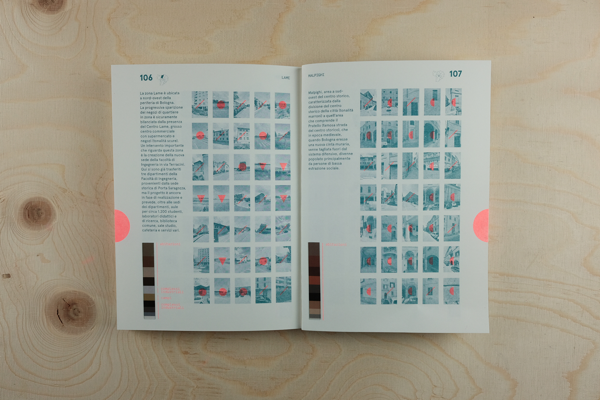
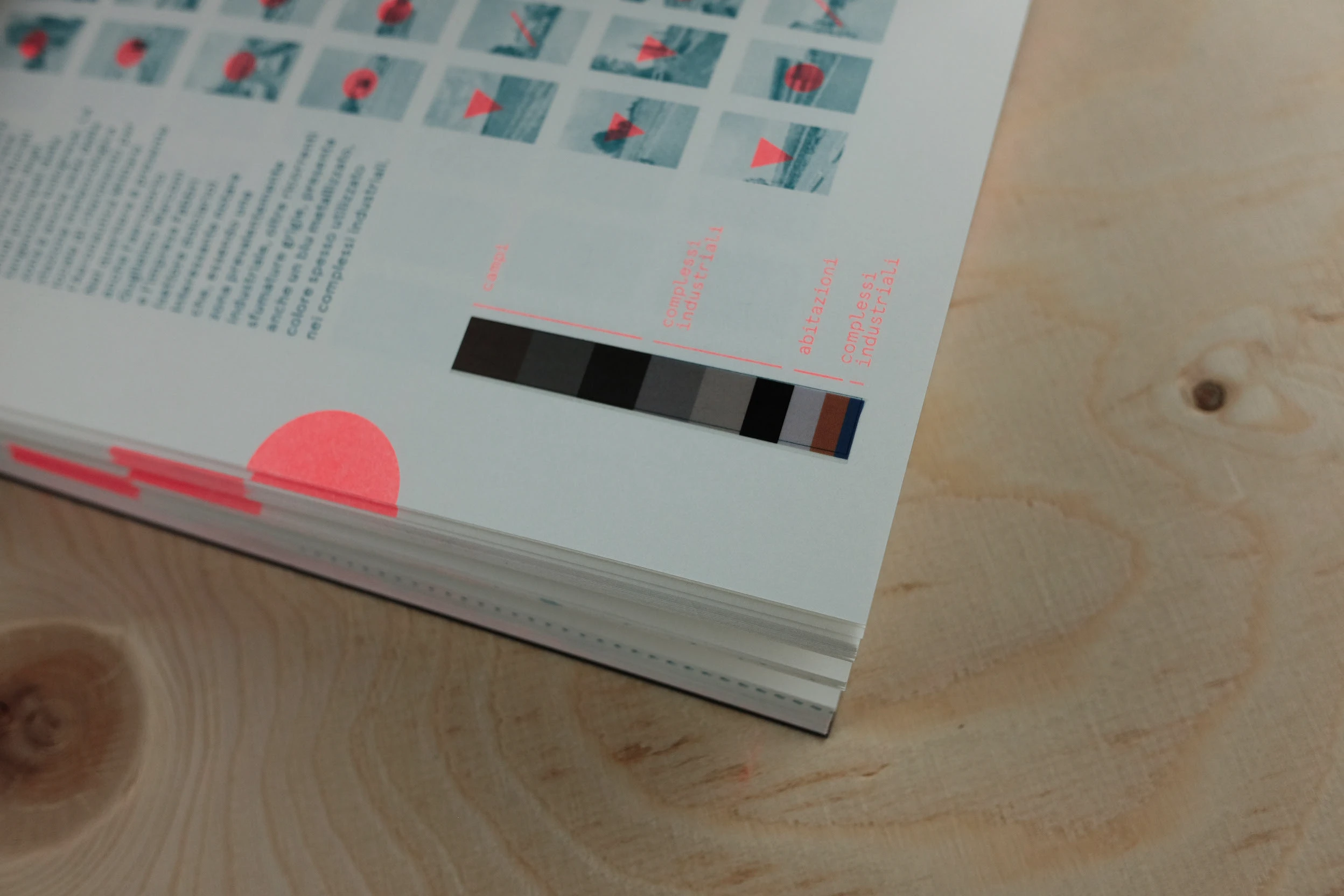
Computational methods can reveal patterns that traditional cartography misses—for example, analyzing a city’s fabric to map color contrasts between neighborhoods, insights that can guide architects toward new facilities or public spaces.